After Mt Gardner, the two other Bowen Island peaks are Apodaca (SE) and Collins (NE).
Both have easy ways and hard ways to their summits. On their easy ascents, they make pleasant bike-and-hike adventures.
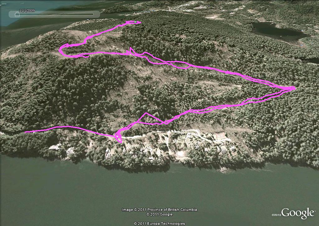
 Apodaca's intuitive but difficult way is from the west, and then along the ridge. The crack team of Jackson, Conroy & Crerar had a soggy nasty time climbing over massive blow-down, cliffs, and deer cadavers.
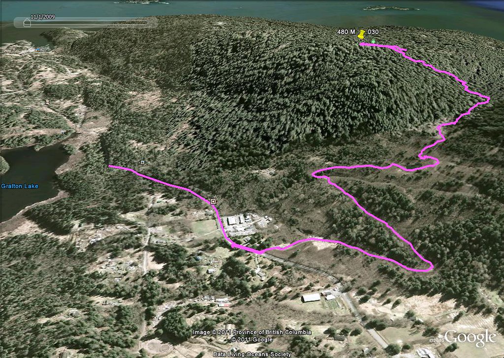
The easy Apodaca way to to take Grafton Road (Bowen's main artery, flowing from the ferry to the west side of the island) to Harding Road. Cross Grafton and go south and uphill. Another access point is just to the south of Harding, at a gate marked "1042" with a junkyard and abandoned trailer on a grassy meadow. From there, a network of logging roads of various widths leads up to the forest proper. Then a gentle bushwhacking past a few steep bits and cliffs will lead to the peak, marked by a lovely carpet of multihued moss, a considerable tree rootball, and a pointy rocky cairn. Through the trees one can see Gardner.
Collins's more traditional and beautiful way is from the west: from Woods Road, off Mount Gardner Road, one follows an old logging road up to pretty Honeymoon Lake, and then a gentle bushwhack up NE to the peak.
The short and easy way is from the north: take Miller then Eagle Cliff then Smugglers' Cove Roads to Porter Road in the north. There is a large gate usefully referenced by a "No Trespassing" sign. Behind the sign is a well-defined logging road that takes one almost up to the peak itself. Then a very gentle bushwhack through a thin curtain of trees to the modest mossy peak.


