I enclose a zip file containing tracks of the routes that will enable the initiated to complete the Bagger Challenge in 14 day trips. These are the culmination of 2 years of bagging and represent combinations of peaks that can be completed as day trips. Where possible I prefer to do circuits and have organized many of the trips in that way. In some cases the approaches to the trails may be driveable closer than is indicated. The routes all start from a paved road or parking lot.
The roads at Capilano Mountain and the Porteau Road side of the Howe Sound Crest trail can sometimes be driven although both have gates which may be locked.
There is colour coding of the tracks and symbols for the waypoints but they only seem to be rendered by Garmin mapsource. Other software typically renders the tracks as one colour and the waypoints with a single symbol.
The hiking tracks are yellow, climbing are red, paddling is aqua blue, and cycling are dark blue.
The sections that involve 4th class climbing are rare but include the following:
1. - West Lion
2. - Coburg (north and south sides)
3. - Hat (north ridge)
4. - Perrault (east side) - only because I haven't found the optimal route yet
Click here to download the zip file of Bagger Challenge Tracks
More info and photos available here
Here are the maps of the routes. Click on them to view or download the full size original:
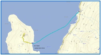 Anvil Anvil |
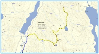 Bishop Sweep Bishop Sweep |
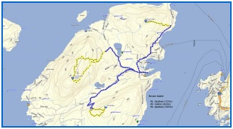 Bowen Sweep Bowen Sweep |
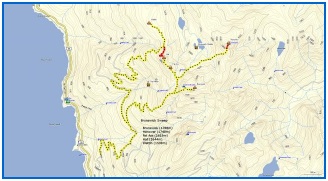 Brunswick Sweep Brunswick Sweep |
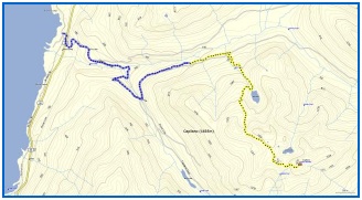 Capilano Capilano |
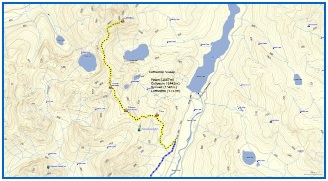 Cathedral Sweep Cathedral Sweep |
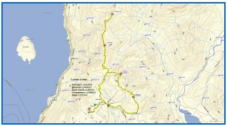 Cypress Sweep Cypress Sweep |
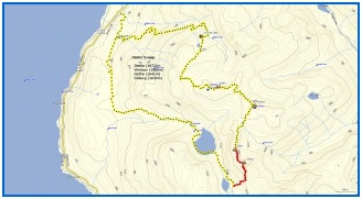 Deeks Sweep Deeks Sweep |
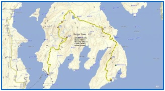 Gambier Sweep Gambier Sweep |
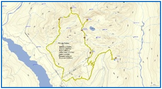 Grouse Sweep Grouse Sweep |
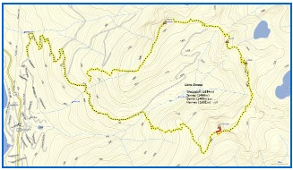 Lions Sweep Lions Sweep |
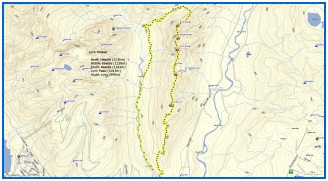 Lynn Sweep Lynn Sweep |
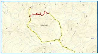 Perrault Perrault |
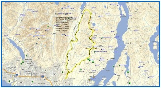 Seymour Sweep Seymour Sweep |
|
Comments
This is truly awesome, Bill
great resource.
Seconded.
Seconded.